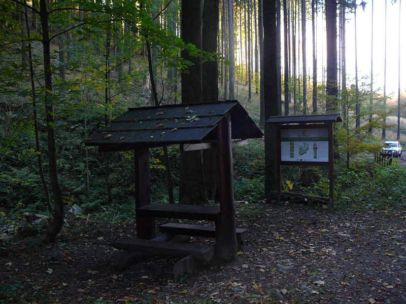
The nature trail will guide you through the many beauties and attractions of the diverse nature and landscape of the Vendryně area. The location of the area in three geomorphological units is accompanied by differences in natural conditions in terms of geology, soil, and climate, which in turn determines the captivating diversity of vegetation formations with interesting flora and fauna. The spatial and altitudinal differentiation of the area also predetermines the picturesque nature of the landscape views.
Trail description
Both sections of the trail start at the Vendryně train station.
1. (approx. 10 km)
It leads from the Vendryně railway station to the center of the village, to the church, and from there it continues parallel to the green tourist trail (TZ) through the local countryside. It branches off to form a circular trail and first leads around the famous lime kilns, where it also branches off from the green TZ and leads almost to the border with Poland below the peak of Wrózna (571 m). Here it runs for about 1.4 km parallel to the red TZ and then branches off and returns to the center of the village and back to the train station.
2. (22 km)
This trail also starts at the Vendryně railway station, but leads in the opposite direction, often running parallel to marked hiking trails. First, it takes you to the local district of Rybořovice, across the Olše River, and on to the district of Zaolší, where it splits (to form a circular route again). It continues along the blue tourist trail on a forest path below Žďár Hill to a crossroads, where it joins the green tourist trail, which leads below Ostrý Hill (1044 m) to the Ostrý – salaš crossroads, where it joins the yellow tourist trail back to Vendryně.
If you leave here and follow the yellow trail west (don’t worry, there is a signpost), after 2 km you will reach the Ostrý chalet, a well-known Beskydy chalet where you can refresh yourself. Then you can return to the Ostrý – salaš crossroads and follow the marked NS trail, parallel to the yellow trail, down to Zaolší and the train station.
There are no steep elevation changes anywhere. The route often connects to general marked hiking trails and bike paths, allowing for convenient communication between different sections of the trail and in different directions, encouraging exploratory wanderings even outside the route itself.